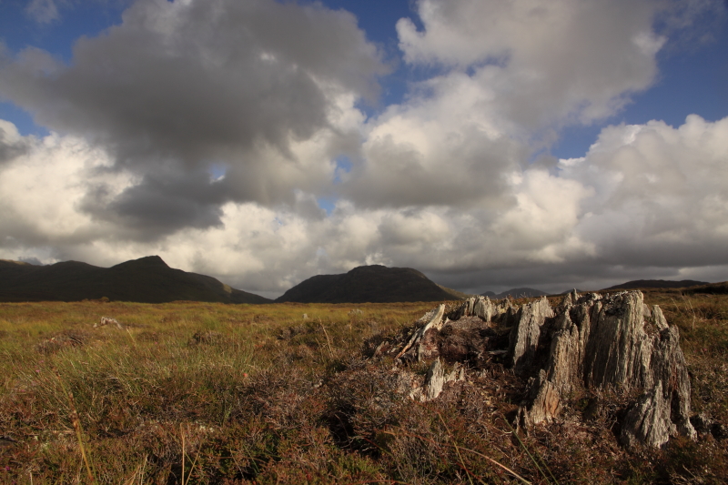
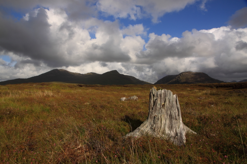
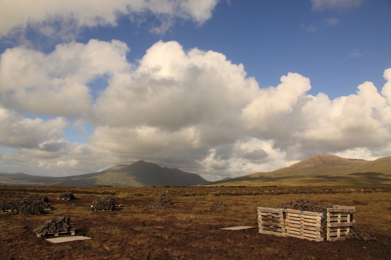
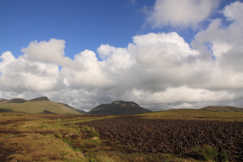
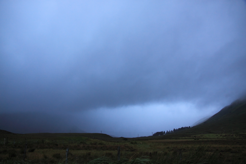
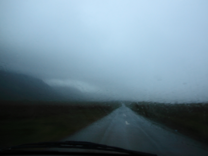
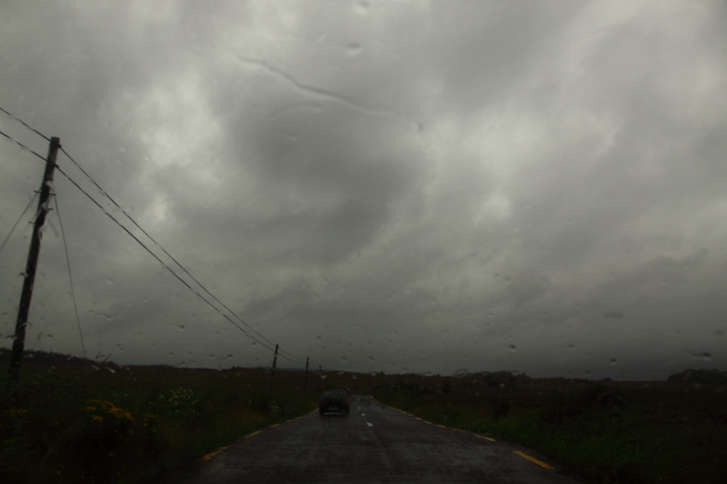
Rain tumbles down. From the swift clouds that scrape over the maamturks it pours onto the boggy land below. The wipers of the aging Peugeot van snicksnack across the windscreen as I drive the winding road north from Oughterard. With no radio reception, I try a CD but the speakers are tinny and irritating. Visibility is poor, and the road is hard to make out; the sky melts with the forground in a bustling wash of grey and water.
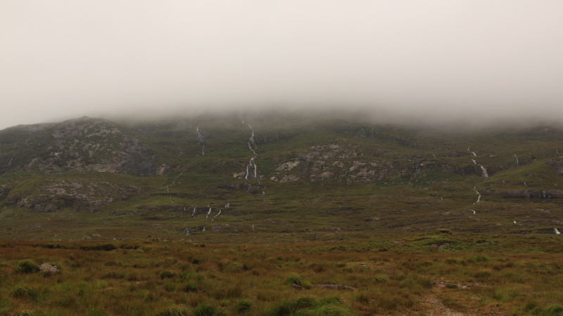
I turn left at Maam Cross and head up the hill that leads down to Maam valley. At the top I stop and roll down the window, letting drops of rain splatter inside while I hold my camera out to try and catch the swollen gushwhite streams that race down the gray-green mountainsides. Peaks disappear into a white blanket of mist.
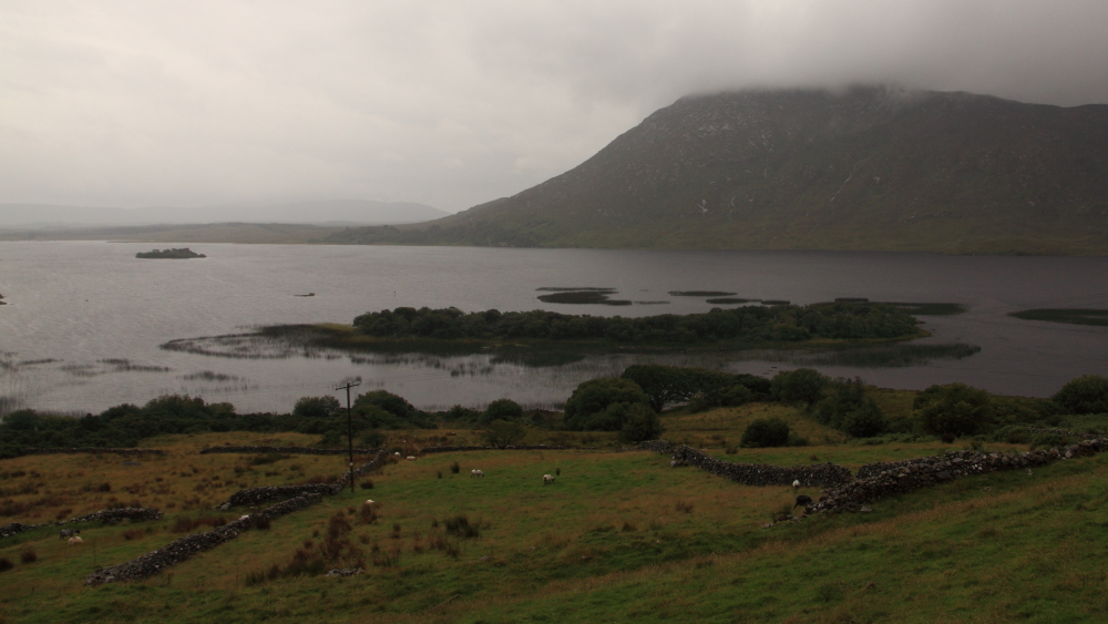
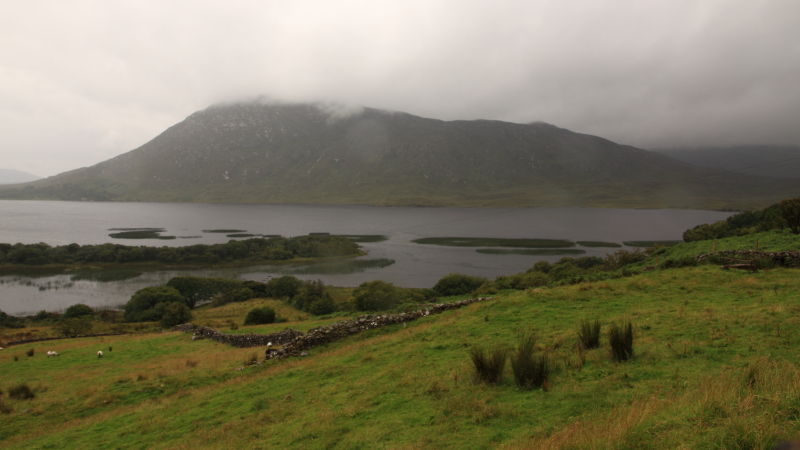
At Keane’s pub I go right, onto the Cong/Clonbour road, but I swing the van round after a few kilometres. I just wanted to go until I caught sight of the North-West corner of Lough Corrib, a broad finger of the lake that curls around the Hill of Doon and on to Maam. Between the end of Glann and here there is only a short stretch, but no road; only the Western Way hiking route tracks across the soft ground and skirts up around Lackavrea mountain. I stop again and this time get out, risking the wet to see what the day looks like to the lens. Out under the shadow of the mountain on a small island sits Caislean-na-Circe, Castle Kirk, which served Grace O’ Malley well as a safe haven around 800 years ago. The corrib has fished well this year, healthy catches of brown trout despite the explosion of zebra mussels that coat the floor.
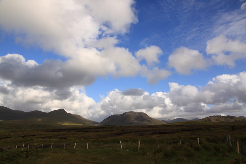
When the light is low and clouds cover the whole dome above like this, the greens and browns of the earth show little contrast but thick dull colour. We are in the last gasp of July and every inch of fertile ground is a riot of growth. These hills were mined for lead and silver in the 19th century, hauled to Galway city across the lake. Only a derelict crushing plant can be seen now from the road.
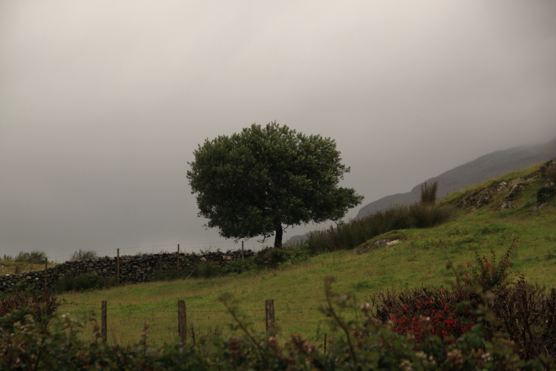
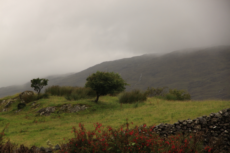
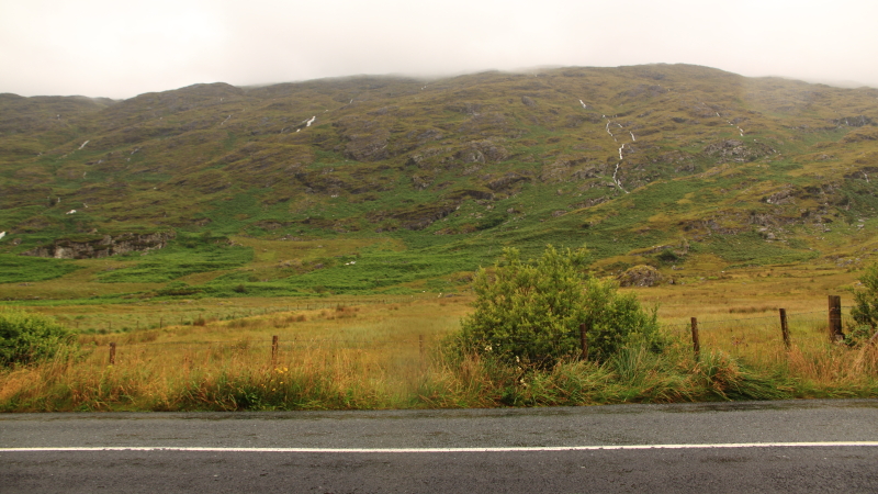
Back through the junction at Keane’s, and straight on this time heading for Leenane. There are few cars on the road, a bad evening for driving, and I make slow progress. The road meanders like a stubborn river through scraps of conifer forest and acres of soggy fields. Left and right rise steep hills up which run brave stone walls. Leenane is living up to its reputation as the wettest place in Ireland. The deep cut of the fjord is hidden by the heavy mass of grey. Outside the van, in the whip of the wind, I can smell the salt of the Atlantic.
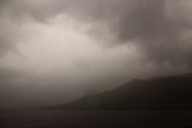
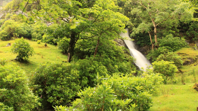
After Leenane the road rises up again from sea level then swings away from the coast, into the more sheltered valley of lakes where Kylemore Abbey draws in the crowds to its postcard buildings and gardens. This time though I only stop at the nearby waterfall and sprint to the low bridge to see its short white fury crashing down. Designed by James Franklin Fuller, and built by Mitchell Henry from 1867 to 1871, it was later sold to the Bendictine nuns to cover gambling debts by the Duke of Manchester.Almost self sufficient thanks to carefully maintained gardens, it was until 2010 a secondary school for boarding and day students. My great-Uncle John Joyce worked in those gardens for most of his life.
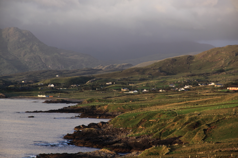
Camera splashed again, back in the van, it takes more than a few extra seconds to start, but eventually kicks into its usual diesel grumble, and I pull out and drive the short distance to Tullycross, then down to meet the coast again to Mullaghlos. From the front of my cousin’s house you can see the broad Mweelrea mountain rise 814 metres over Killary harbour. Cnoc Maol Réidh in gaeilge: “Smooth bald hill”. The highest peak in Connaught. Clare Island, Caher island, Inisturk. Inisbofin too far west to make out. If you look directly north you can normally see the cliffs of Achill almost 40km away, towering over Keem bay under Croaghaun mountain. Not now though. It is late, dark, wet, and windy.
The cosy stovehot modern cottage is a welcome haven, sheltered on one side by a deep cut into a high bog bank. It is too far from the road to hear the odd car bumping by over the potholes, but the wind whistles through the poles and around the gables, and the ever present heaving waves throw low rumbles up the grassy cliffs. Even at night the wildness of the terrain can make its presence felt.
It is almost 24 hours before I get back outside with camera in hand. I spend the next morning and afternoon typing, some office work to help recover some lost documents. I can see the shifting weather bustle across the seascape from the North-facing window. Rain spits and spatters in short showers, hurried by the west wind.
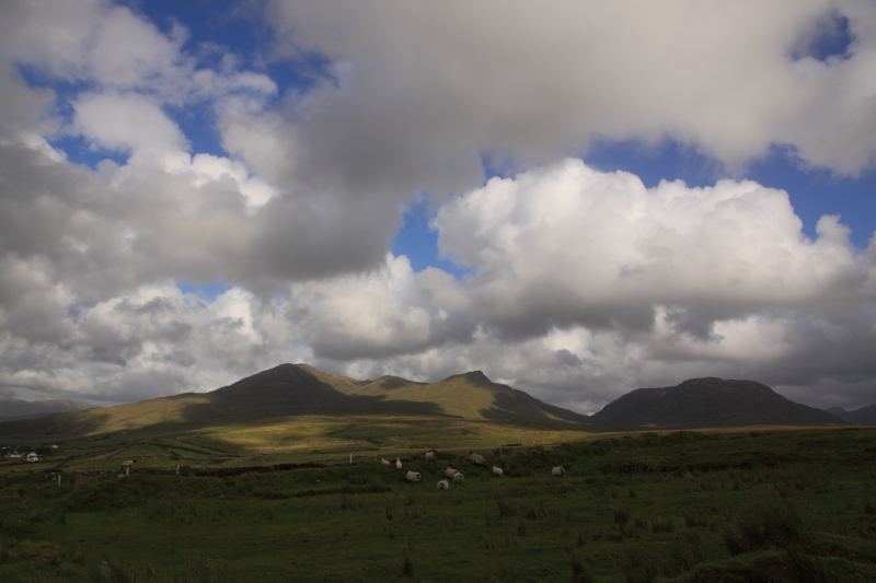
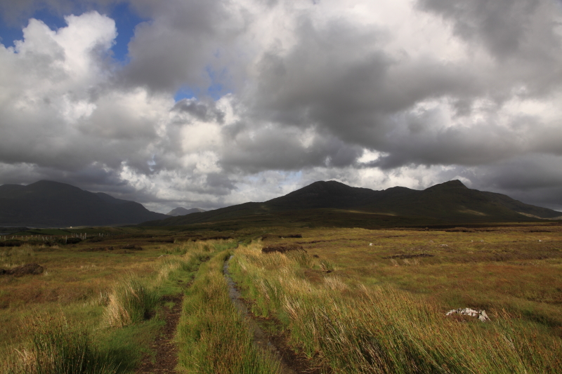
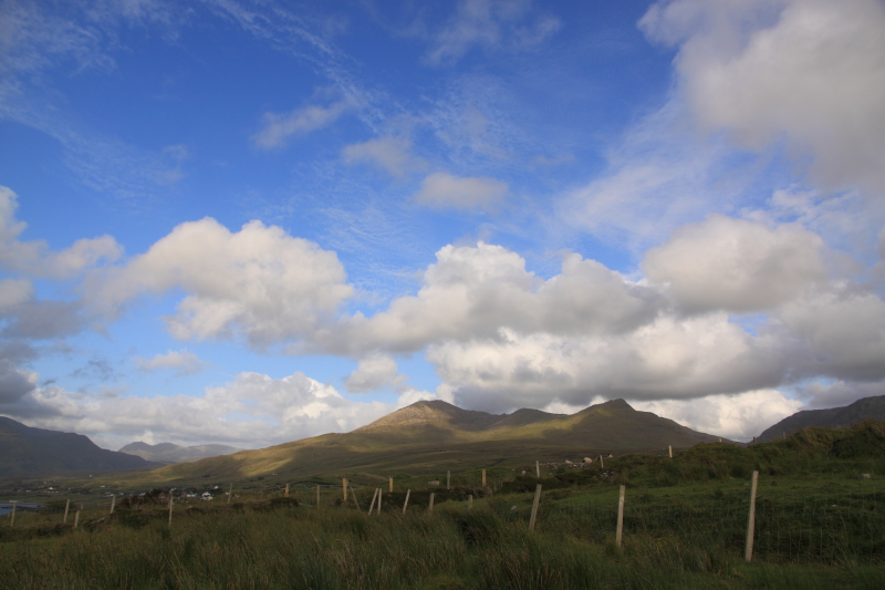
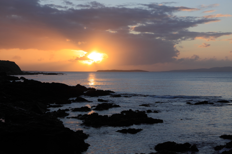
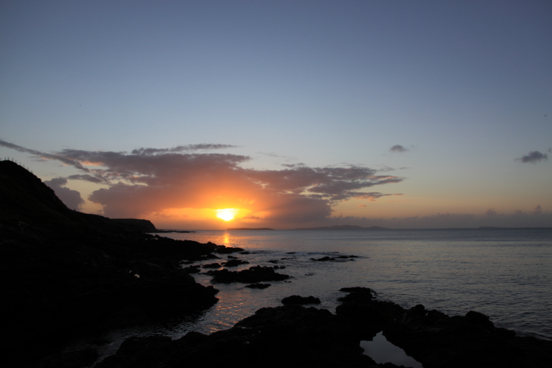
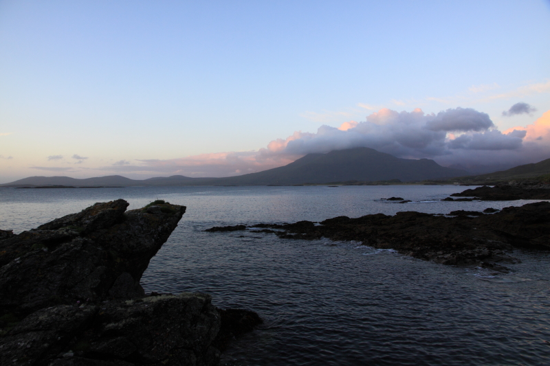
It is evening again when I call it quits and ignore an empty belly to scramble with the wrong shoes up a waterlogged bog road. The epic rambling clouds throw wide shadows but pockets of warm light separate them. It is a desolate landscape, soft acidic soil, and virtually no shelter from the salty knife edge of the wind.
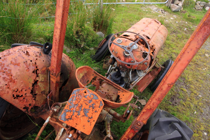
I pass the carcass of an old tractor, metal eaten, almost motheaten, disintegrating under the elements.
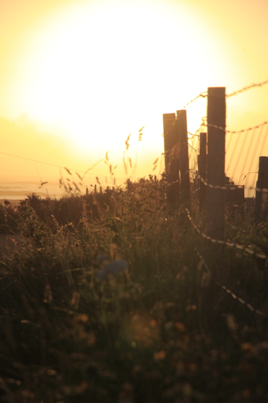
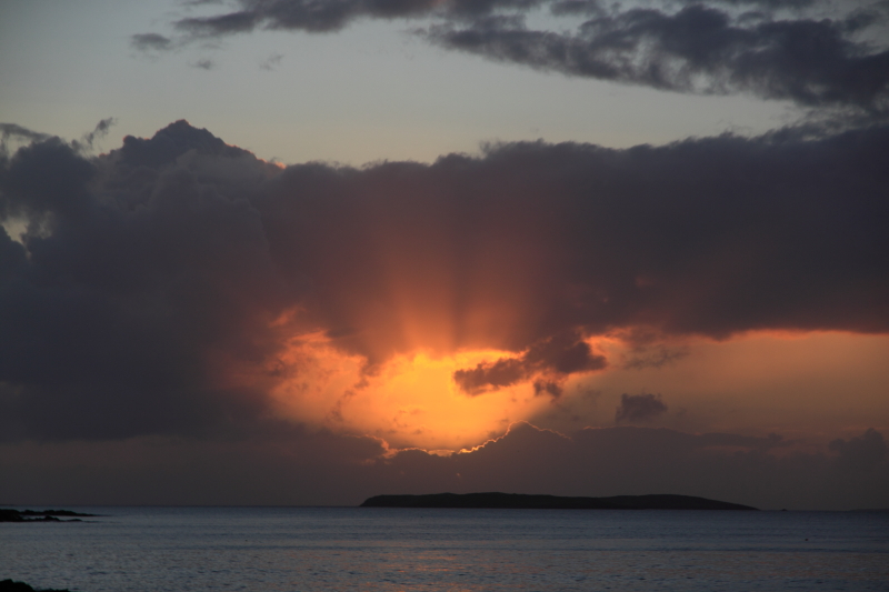
The sun has dropped below the horizon, but as I leave I see flashes of silver in a dark pool. Jumping across the seaweed covered rock I make out a mass of sprats whirling in the water, thousands of tiny fish clumped in a ball. A few seconds later I see larger shapes flashing through, dark daggers slicing the school. Atlantic Mackerel, probably a whole shoal, chasing the massive numbers of sprats into the jagged bays.
I clamber up the steep slopes, and risking the fading light, borrow an old rod to see if I can get back down before the mackerel disappear again. I tie a cast of 5 hooked feathers onto the gut and string a small weight at the bottom. Sliding down to the rocks one more time, I hurry back to where I had last seen them. The sprats are still there but no sign of their predators. After a few casts and only lumps of seaweed to claim I move further out onto a bigger rock. The “monach rock” we called it as kids. After a few more futile efforts, I am ready to give it up, then suddenly thump thump on the hook, the line zippping left right, white bellies swivelling and darting in the green, and the satisfying tension of a rod with fish. I haul up two mackerel flapping on the hooks, their flesh punctured by steel hooks. With the rod high they struggle against the grey sky, gasping, furiously beating. But I have started so I finish, dropping them down, pulling out the barbed hooks, bashing their heads against the rock. Some recently devoured sprats fly out of their mouths with the force of the blows. With the nightfall and the tide changing there is no time. Out again with the feathers, and another strike, this time four fish straining.
Twenty-four mackerel and one pollack later I call it quits. I have enough to eat and share, and enough fish blood and dying fish twitch for one day. It is hard to see much as I fill the plastic bag and tackle the climb. I use the rod as a walking stick, and the bag as a counterweight. Going over the top a full moon emerges like a torchlight.
I gut the fish at an outside sink, cutting off the tails and heads and putting the organs into a bucket.
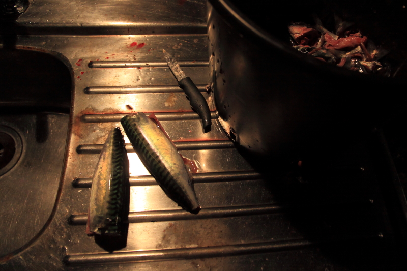
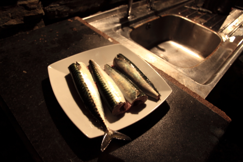
The next day we cook up some of the mackerel for a late lunch, baked in the oven in foil, eaten hot with boiled potatoes and peas. Another overcast showery low pressure has moved in, so another day mostly indoors, bar a short trip to Clifden in my cousin’s Ford pickup. A tree surgeon by trade (http://www.westcoasttreesurgery.com/), he points out interesting trees and their properties. In a part of the country with few trees, and hit hard by the heeldragging recession, it is surprising how you see forests of detail emerge as they are spotted, and realize that there is still busy work for a busy man. A fine oak or ash, a slow growing beech, a scots pine or a blackthorn. Even after a decade and a half of hard labour climbing and cutting, sawing and chipping, he still has a grá for trees, a curiosity and interest that will outlast the current economic stillness.
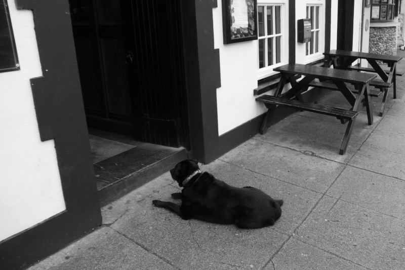
Clifden is wet but alive. It has an energy and art that mark it as a cultural and tourism hub, far as it is from a city or industry. Small galleries, cafés, and hotels survive here, hibernating a little during winter but sustained by a steady stream of interested visitors. Signs point to the spot where Alcock and Brown crash-landed their Vickers Vimy in 1919, an indecorous but momentous conclusion to the first transatlantic flight from Newfoundland. A dog slumbers outside the door of a pub. People scurry for shelter between the shops. Paintings, Aran sweaters, Leprechaun and shamrock strewn mementos. But also Lidl, Aldi, Supervalu supermarkets, hardware stores, a hospital.
Late in the evening I hit the road again, taking a different route by traversing the Inagh Valley from east to west, driving along a dividing line between the Maamturks and the Twelve Bens. Grassy Benbaun is followed by stark Bencorr’s jagged peaks jutting above Lough Inagh. Everything is shrouded in mist, the low grass and rushes bent by the wind and rain. Bogs are soft and wet after a summer of heavy rain, and the rivers are full and angry after the last few days. This is a bleak road in bad weather. It was named the famine road to us as kids, and along its sides are supposedly buried the bones of those who fell in the desperate years of the famine. It is still barely populated. The wipers snicksnack across the windscreen again. Hard to believe that the evening before had been so bright and colourful. Unpredictable, fickle, a land exposed. Does the sun shine between the showers or the showers fall between spells of sun? On such distinctions seems to rest the mood and conversation of those who live under this weather and among these peaks.
